A Little Introduction
GIS is a collection of computer hardware, software, and geographic data for capturing, managing, analyzing, and displaying geographically referenced information.
WHY OUR GIS.?
•We are making a GIS available any where, any time, on a single click of mouse.
•Our GIS have plenty of features like a typical GIS ,and can be accessed without having any typical hardware .
•Our GIS is powered by Microsoft Virtual Earth environment.
•Any user of our GIS can send/update the geographic information hence make it better. This is a feature that make it unique.
•It have both physical , political, and hybrid views of maps.
Simple Steps for using Active maps:
Step 1.On the Home Page go to search box at left, type desired Location name as Lucknow, India, hit Find button.
Step 2. The map zooms to the location at 4 levels and now you can drag the map, zoom in zoom out, paan up , paan down etc by using the tools at the
left side.
Step3. You can change the map theme as Aerial view, Road map view and labels view.
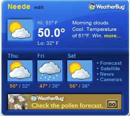
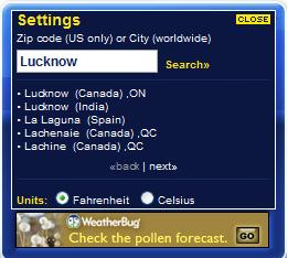
Go to weather Gadget and click edit at top left corner as followed:
DISCOVERY is one of the strongest feature of our website that provides user with all the informations regarding geographical landmarks of this world
inclucing continents,7 X 7wonders, forests, platues, water bodies, deserts , tourism and latest news about GIS is updated every week.
All these are just a mouse click distant from user.
This feature will prove very helpfull to reserachers, schollors, students, project developers.
Different schools and coleges will get a lot of benifit form this feature of ur website in teaching students and providing them with concreete information.
We know that we must continuously interact directly with users to make our website packed with new ideas.
So we have here GIS blog, www.gisblogging.blogspot.com
You can send your feedbacks, advices to us and they are duely welcomed.
Warning: This website is protected by copyright at www.priyanshu.co.nr April 2008and are bind by laws and international treaties. Unauthorized reproduction or distribution of this program, or any portion of it, may result in severe civil and criminal penalties, and will be prosecuted to the maximum extent possible under the law.